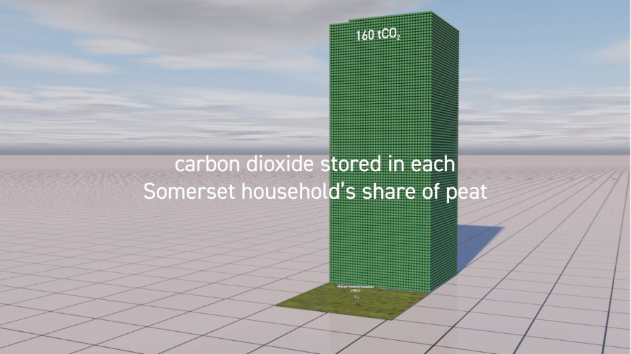
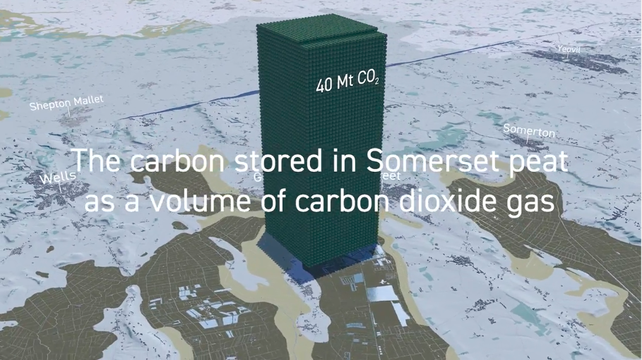
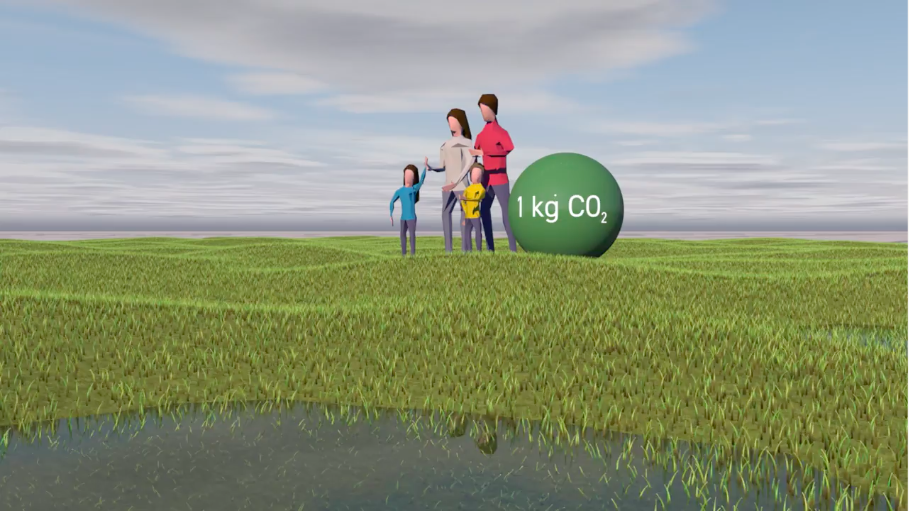
We often inhabit places without knowing how our activities shape the natural landscape. So map-based stories that visualise what is happening beneath our feet and in the air around us can be helpful. Somerset Wildlife Trust wanted to show that currently, the way most land is managed in the Somerset Levels and Moors is both contributing to climate change (by releasing greenhouse gases like methane and CO₂) and making us more vulnerable to its impacts, particularly flooding.
“Peat restoration is the quickest way to reduce carbon emissions. And proactive flood management provides multiple benefits to the local community. These great films will be very helpful in getting across our key messages at shows and events. ”
Real World Visuals made two videos to show that by harnessing the power of nature and making a few changes to how people manage land, the Levels and Moors can deliver important solutions that reduce emissions and help people adapt to the changing climate. More information on the Adapting the Levels project here.
“We are really happy with the end result of both videos. They concisely communicate the issues or peat restoration and river reconnection to a broader audience, and I think the visual elements demonstrating carbon storage and flooding risk are particularly striking, and help bring the story to life”
Do get in touch if you would like an animation to show an important place-based environmental story. info@realworldvisuals.com


